Hackathon “Social Bearing”
Hintergrund

The mapping of sea marks and buoys for open nautical charts such as the openseamap is complex, because you have to go directly to the sea mark with a kayak or rubber dinghy and measure the position with a GPS device.
Every sailor knows the method of cross bearing to determine one’s own position on the basis of two bearings (one bearing is here the determination of the magnetic course from one’s own position to an object in the distance) to two objects whose position are known. At the intersection of the two bearings is the own position.
This method also works the other way round – if I take a bearing to the same object from two different known positions, the position of this object can be calculated. SocialBearing uses this method to determine the position of a sea mark or a buoy from a distance, e. g. while passing a ship. For this purpose it is necessary to use a magnetic bearing compass and a smartphone for data acquisition and determination of the own position via GPS.
Planning
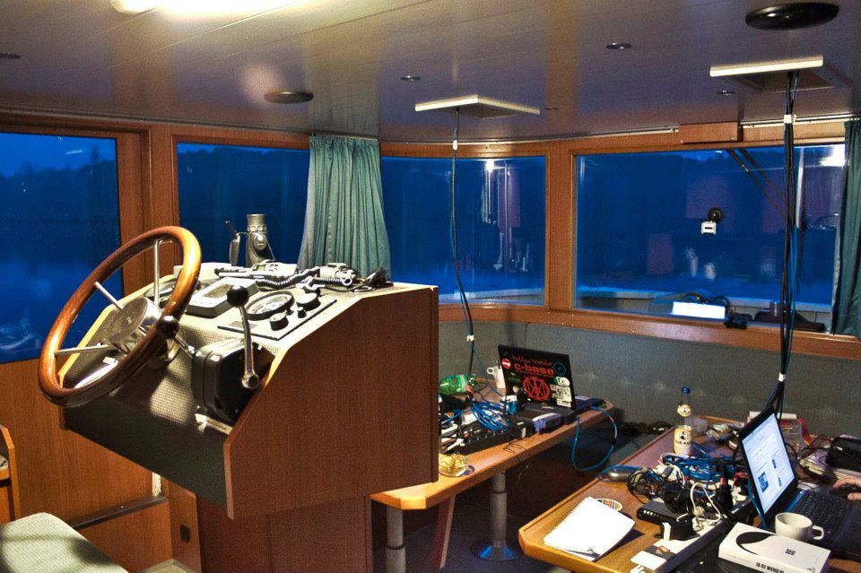
 To test this principle we organised a hackathon on a boat. We chartered the MV Antonia, a 15m long catamaran for up to 14 people and invited 10 experienced and less experienced Android developers, designers and programmers. We didn’t plan to moor again until the app was ready. A release of the app was also planned.
Implementation
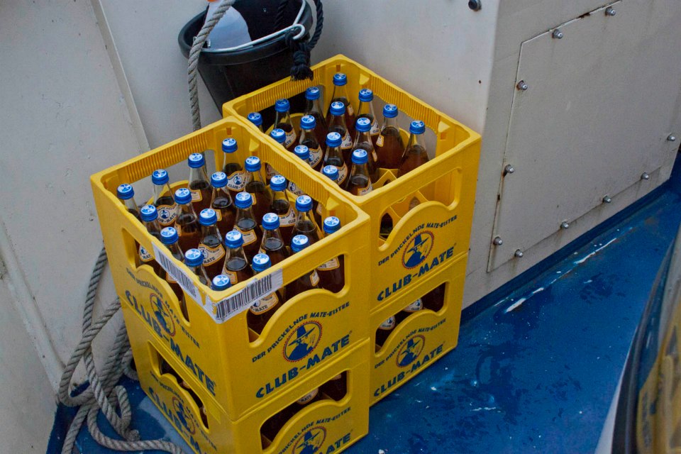
We lifted anchor in Gatow near Berlin after loading the ship with lots of technology and drinks.
Due to a fault in the electrics and the alternator on the port engine, we had to generate all the electricity with the starboard engine, because the rented generator also turned out to be defective when we wanted to pick it up.
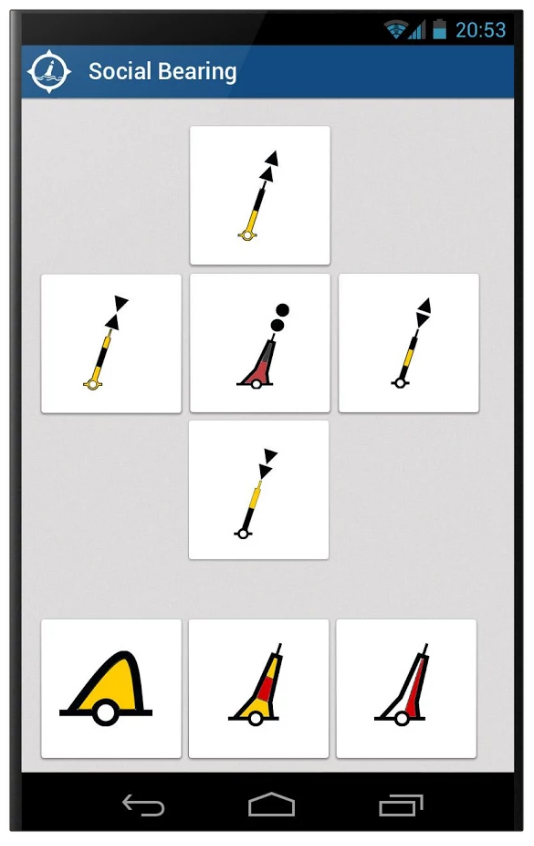
We spent one night at anchor and moored in Potsdam for the other night. Throughout the entire time, individual were awake and programmed, developing the app or making coffee for others. Within the framework of the development, logos and icon sets were also produced and adapted for the app so that a user interface as shown below could be created.
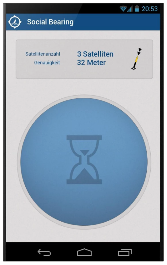
On the last day we were able to test the use of the app on a few buoys and found out that the concept basically works. We confirmed, as assumed, that it is extremely important to use the same chronological precision as when measuring the height of the sun with a sextant. In this example, one crew member counts to zero with the sextant and at the zero moment the crew-member memorizes the precise measured value, while another crew member records the precise time (exact to the second or better). The app allows one person to do this process alone. The large button on the left example screenshot stores the precise GPS position and time at the moment of pressing. The button is so big that you can hit it without looking. So while looking through the bearing compass, one could blindly press the button with the other hand. Afterwards the user is able to type the type of buoy and the measured bearing into the following form.
project’s success
We have reached our goal to get the app ready by the end of the hackathon. Unfortunately we didn’t reach the goal to release the app, because we had to wait for the activation of a GooglePlayStore account.
Also, the backend of the software was not created, so the app could not talk to any server in order to store the recorded data, so this app is not usable at the moment.
Link to the Appstore: https://play.google.com/store/apps/details?id=org.hackerfleet.socialbearing


